
File:Map of Texas highlighting Jim Wells County.svg

Size of this PNG preview of this SVG file: 631 × 600 pixels. Other resolutions: 253 × 240 pixels | 505 × 480 pixels | 808 × 768 pixels | 1,077 × 1,024 pixels | 2,155 × 2,048 pixels | 12,473 × 11,855 pixels.
Original file (SVG file, nominally 12,473 × 11,855 pixels, file size: 304 KB)
| This is a file from the Wikimedia Commons. Information from its description page there is shown below. Commons is a freely licensed media file repository. You can help. |
Summary
| Description |
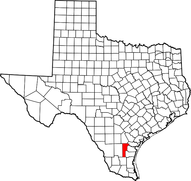
English: This is a locator map showing Jim Wells County in Texas. For more information, see Commons:United States county locator maps. |
| Date | |
| Source |
Own work: English: The maps use data from nationalatlas.gov, specifically countyp020.tar.gz on the Raw Data Download page. The maps also use state outline data from statesp020.tar.gz. The Florida maps use hydrogm020.tar.gz to display Lake Okeechobee. |
| Author | David Benbennick |
Licensing
| I, the copyright holder of this work, release this work into the public domain. This applies worldwide. In some countries this may not be legally possible; if so: I grant anyone the right to use this work for any purpose, without any conditions, unless such conditions are required by law. |
File history
Click on a date/time to view the file as it appeared at that time.
| Date/Time | Thumbnail | Dimensions | User | Comment | |
|---|---|---|---|---|---|
| current | 17:05, 12 February 2006 | | 12,473 × 11,855 (304 KB) | David Benbennick | {{subst:User:Dbenbenn/clm|county=Jim Wells County|state=Texas|type=county}} |
File usage
The following page uses this file:
Global file usage
The following other wikis use this file:
- Usage on ar.wikipedia.org
- Usage on be.wikipedia.org
- Usage on bg.wikipedia.org
- Usage on bpy.wikipedia.org
- Usage on cdo.wikipedia.org
- Usage on ceb.wikipedia.org
- Usage on cs.wikipedia.org
- Usage on cy.wikipedia.org
- Usage on de.wikipedia.org
- Usage on en.wikipedia.org
- List of counties in Texas
- Jim Wells County, Texas
- Alfred-South La Paloma, Texas
- Alice, Texas
- Alice Acres, Texas
- Coyote Acres, Texas
- K-Bar Ranch, Texas
- Loma Linda East, Texas
- Orange Grove, Texas
- Owl Ranch-Amargosa, Texas
- Premont, Texas
- Rancho Alegre, Texas
- Sandia, Texas
- Westdale, Texas
- San Diego, Texas
- Pernitas Point, Texas
- La Gloria, Jim Wells County, Texas
- Ben Bolt, Texas
- Alfred, Texas
- Palito Blanco, Texas
- Bentonville, Texas
- Casa Blanca, Texas
- Template:Jim Wells County, Texas
- Rancho de la Parita, Texas
- Category:Wikipedia requested photographs in Jim Wells County, Texas
- Springfield, Texas
- User:Nyttend/County templates/TX/2
View more global usage of this file.