
File:Rhineland-Palatinate relief location map.svg

Size of this PNG preview of this SVG file: 452 × 600 pixels. Other resolutions: 181 × 240 pixels | 362 × 480 pixels | 579 × 768 pixels | 772 × 1,024 pixels | 1,543 × 2,048 pixels | 930 × 1,234 pixels.
Original file (SVG file, nominally 930 × 1,234 pixels, file size: 3.64 MB)
| This is a file from the Wikimedia Commons. Information from its description page there is shown below. Commons is a freely licensed media file repository. You can help. |
Summary
| Description |
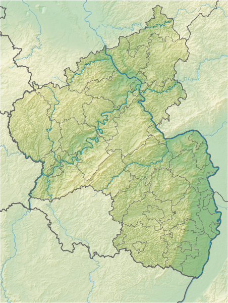
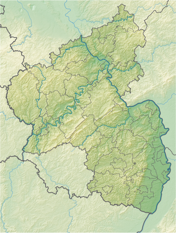
Geografische Begrenzung der Karte:
Geographic limits of the map:
|
| Date | |
| Source |
Own work using:
|
| Author | NordNordWest + Lencer |
| Other versions |
|


|
This map has been made or improved in the German Kartenwerkstatt (Map Lab). You can propose maps to improve as well.
|
Licensing
This file is licensed under the Creative Commons Attribution-Share Alike 3.0 Germany license.
Attribution: Karte/Map: NordNordWest/Lencer, Lizenz/Licence: Creative Commons by-sa-3.0 de
- You are free:
- to share – to copy, distribute and transmit the work
- to remix – to adapt the work
- Under the following conditions:
- attribution – You must give appropriate credit, provide a link to the license, and indicate if changes were made. You may do so in any reasonable manner, but not in any way that suggests the licensor endorses you or your use.
- share alike – If you remix, transform, or build upon the material, you must distribute your contributions under the same or compatible license as the original.

File history
Click on a date/time to view the file as it appeared at that time.
| Date/Time | Thumbnail | Dimensions | User | Comment | |
|---|---|---|---|---|---|
| current | 09:29, 1 July 2014 | | 930 × 1,234 (3.64 MB) | NordNordWest | upd |
| 21:07, 2 November 2013 |  | 930 × 1,234 (3.64 MB) | NordNordWest | == {{int:filedesc}} == {{Information |Description= {{de|Positionskarte für Rheinland-Pfalz, Deutschland}} Geografische Begrenzung der Karte: * N: 50.9796147° N * S: 48.7869615° N * W: 6.02600097° O * O: 8... |
File usage
The following 3 pages use this file:
Global file usage
The following other wikis use this file:
- Usage on ban.wikipedia.org
- Usage on bg.wikipedia.org
- Кайзерслаутерн
- Бинген ам Рейн
- Майнц
- Трир
- Лудвигсхафен
- Шпайер
- Кобленц
- Идар-Оберщайн
- Айфел
- Вормс
- Нойщат ан дер Вайнщрасе
- Бад Дюркхайм
- Ландау
- Прюм
- Прюм (река)
- Аремберг
- Зимерн
- Шаблон:ПК Германия Рейнланд-Пфалц
- Цвайбрюкен
- Пирмазенс
- Фалендар
- Теодор Хойс (мост)
- Каценелнбоген
- Гермерсхайм
- Бад Нойенар-Арвайлер
- Ингелхайм ам Рейн
- Алцай
- Опенхайм
- Оберланщайн
- Диц
- Хорнбах
- Вестербург
- Бад Кройцнах
- Пфафен-Швабенхайм
- Бад Зобернхайм
- Щаркенбург
- Хахенбург
- Алтенкирхен
- Фирнебург
- Кирххаймболанден
- Фридевалд
- Лауренбург
- Браубах
- Спонхайм
- Анхаузен
- Андернах
- Нойвид
- Майзенхайм
- Айзенберг (Рейнланд-Пфалц)
View more global usage of this file.