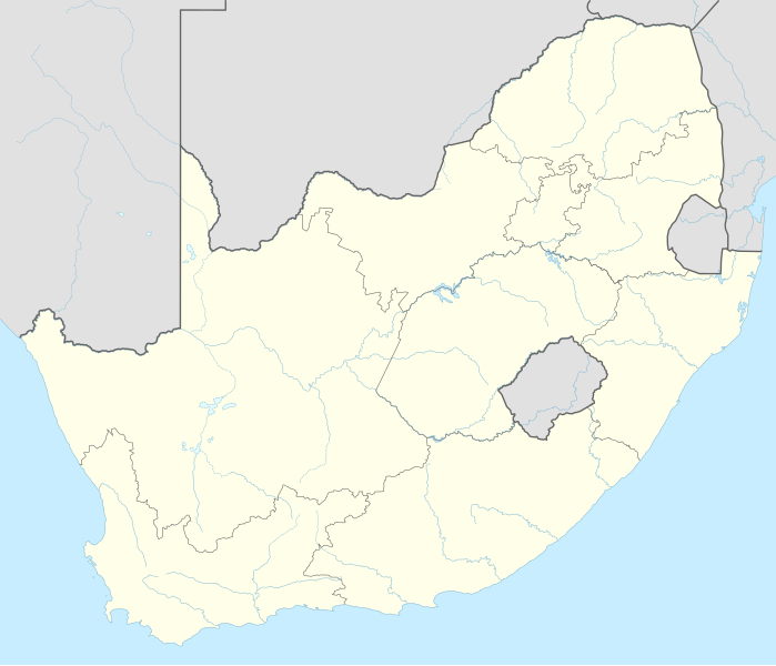
File:South Africa adm location map.svg
Appearance

Size of this PNG preview of this SVG file: 699 × 599 pixels. Other resolutions: 280 × 240 pixels | 560 × 480 pixels | 896 × 768 pixels | 1,195 × 1,024 pixels | 2,389 × 2,048 pixels | 2,031 × 1,741 pixels.
Original file (SVG file, nominally 2,031 × 1,741 pixels, file size: 458 KB)
File history
Click on a date/time to view the file as it appeared at that time.
| Date/Time | Thumbnail | Dimensions | User | Comment | |
|---|---|---|---|---|---|
| current | 18:17, 2 February 2015 |  | 2,031 × 1,741 (458 KB) | NordNordWest | == {{int:filedesc}} == {{Information |Description= {{de|1=Positionskarte von Südafrika}} {{en|1=Location map of South Africa}} {{Location map series N |stretching=110 |top=-21.8 |bottom=-35.2 |left=16.0 |right=33.2 }} |Source={{Own using}} * United St... |
File usage
The following 6 pages use this file:
Global file usage
The following other wikis use this file:
- Usage on ab.wikipedia.org
- Usage on af.wikipedia.org
- Barberton (dubbelsinnig)
- Wellington
- FIFA Sokker-Wêreldbekertoernooi in 2010
- Fietas
- Hatfield, Pretoria
- Olifantsrivier
- Langeberg
- Wêrelderfenisgebiede in Suid-Afrika
- Adelaide
- Springbokke
- Gebruiker:SpesBona
- Rugbywêreldbeker 1995
- Aberdeen (dubbelsinnig)
- Emmaus
- Gebruiker:BenBezuidenhout/Sandput
- FIFA Sokker-Konfederasiebeker in 2009
- Sebokeng
- Augrabieswaterval
- Moordenaarskaroo
- Wildekus
- Kliprivier
- Tsitsawaterval
- Premiersokkerliga
- Swartrivier (dubbelsinnig)
- Proteas
- Buffelsrivier
- Mooirivier (dubbelsinnig)
- Wilgerivier
- Afrikanasiesbeker 2013
- Pondoland
- Warrenton
- Boipatong
- UMgungundlovu
- Boesmansrivier (dubbelsinnig)
- Boesmanspruit (Watervalrivier, Mpumalanga)
- Ngqura-hawe
- Mountain View
- Suid-Afrikaanse Lugmagmuseum
- Rugby-uitdaagreeks
- Vier-en-twintig Riviere
- Verenigde Rugbykampioenskap
- Elandsrivier (meersinnig)
- Afrikanasiesbeker 1996
- Krieketwêreldbeker 2003
- Spitskopdam
- Blinkwaterspruit
- Heuningspruit
- Renosterrivier
View more global usage of this file.


