
File:Surcamps Chaussée Brunehaut (montée) 1.jpg

Size of this preview: 800 × 600 pixels. Other resolutions: 320 × 240 pixels | 640 × 480 pixels | 1,024 × 768 pixels | 1,280 × 960 pixels | 2,560 × 1,920 pixels | 2,816 × 2,112 pixels.
Original file (2,816 × 2,112 pixels, file size: 4.69 MB, MIME type: image/jpeg)
| This is a file from the Wikimedia Commons. Information from its description page there is shown below. Commons is a freely licensed media file repository. You can help. |
_1.jpg)
Summary
| Description |
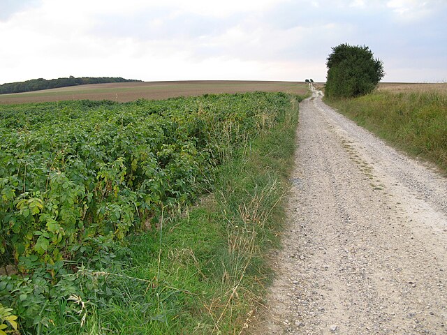
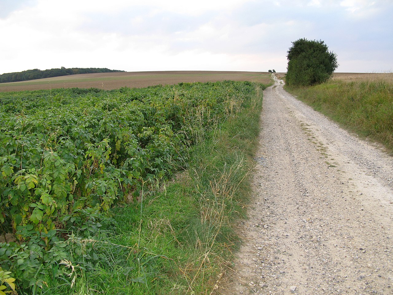
Surcamps (Somme, France) -
Il reste à définir si les champs apparaissant sur cette vue appartiennent effectivement au territoire de la commune de Surcamps (au-delà de la montée du chemin, au bout de l'horizon) ou à celui de Saint-Ouen, village auquel le photographe tourne le dos. |
| Date | |
| Source | Self-photographed |
| Author | Markus3 (Marc ROUSSEL) |
Licensing
I, the copyright holder of this work, hereby publish it under the following license:
This file is licensed under the Creative Commons Attribution-Share Alike 3.0 Unported license.
- You are free:
- to share – to copy, distribute and transmit the work
- to remix – to adapt the work
- Under the following conditions:
- attribution – You must give appropriate credit, provide a link to the license, and indicate if changes were made. You may do so in any reasonable manner, but not in any way that suggests the licensor endorses you or your use.
- share alike – If you remix, transform, or build upon the material, you must distribute your contributions under the same or compatible license as the original.
File history
Click on a date/time to view the file as it appeared at that time.
| Date/Time | Thumbnail | Dimensions | User | Comment | |
|---|---|---|---|---|---|
| current | 19:06, 9 October 2007 | | 2,816 × 2,112 (4.69 MB) | Markus3~commonswiki | == Description == {{Information |Description='''Surcamps''' (Somme, France) - <br>L'ancienne voie romaine, appelée «''Chaussée Brunehaut''», entre Surcamps et Saint-Ouen. <br> Il reste à définir si les champs apparaissant sur cette vue appartiennen |
File usage
The following page uses this file:
Global file usage
The following other wikis use this file:
- Usage on ceb.wikipedia.org
- Usage on de.wikipedia.org
- Usage on en.wikipedia.org
- Usage on fr.wikipedia.org
- Usage on la.wikipedia.org
- Usage on nl.wikipedia.org
- Usage on pcd.wikipedia.org
- Usage on pt.wikipedia.org
- Usage on zh-min-nan.wikipedia.org
_1.jpg)