
Agbado River
Agbado River is a river of Benin.[1] It discharges into the Zou River at the Atchérigbé Classified Forest near Setto.[2]
References[change | change source]
- ↑ Rand McNally, The New International Atlas, 1993.
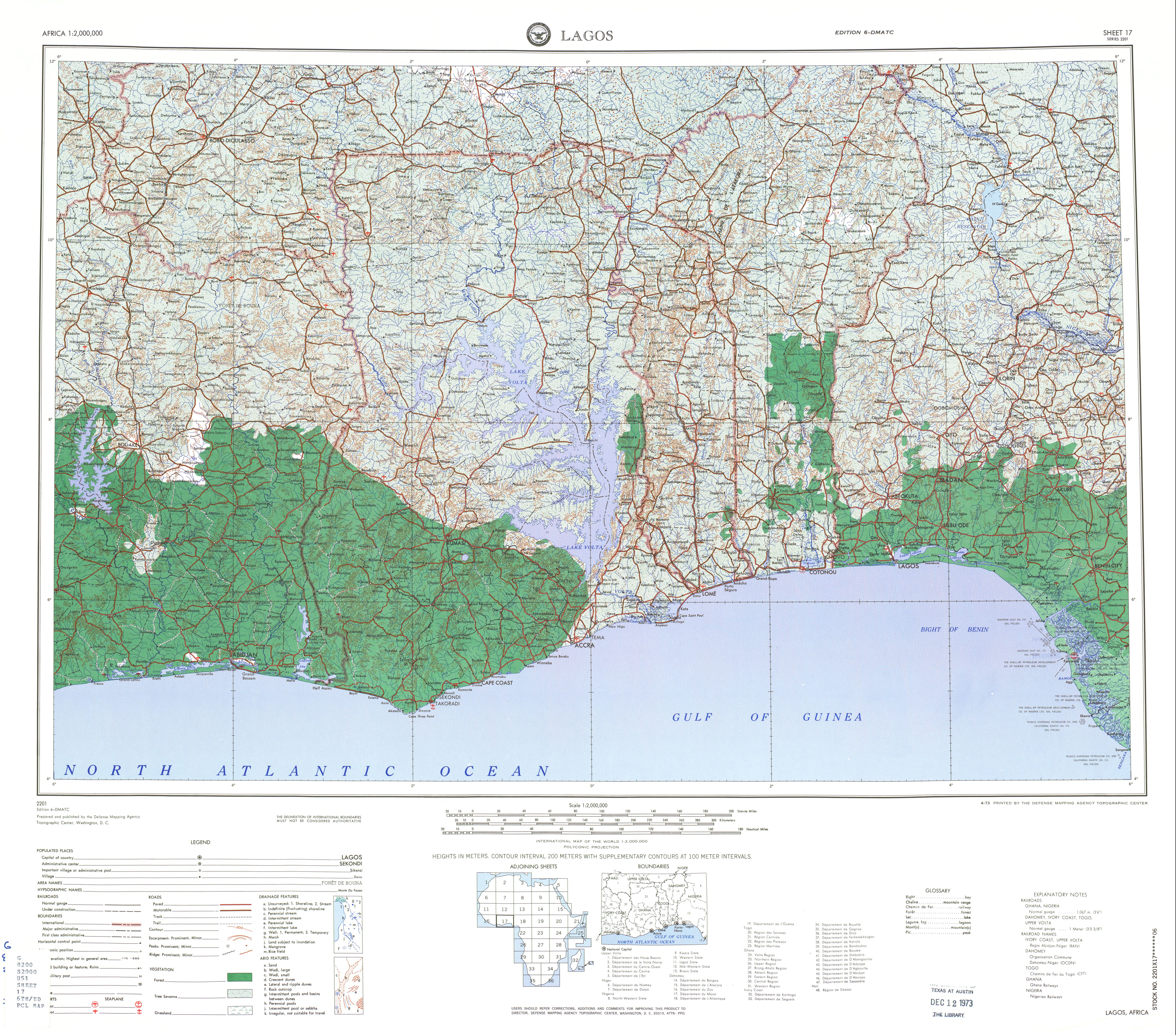
- ↑ Sheet 17: Lagos (Map). 1:2,000,000. Series 2201. Defense Mapping Agency Topographic Center. April 1973.
7°33′54″N 2°07′44″E / 7.565°N 2.129°E