
File:Contorno do mapa do Brasil.svg

Size of this PNG preview of this SVG file: 345 × 345 pixels. Other resolutions: 240 × 240 pixels | 480 × 480 pixels | 768 × 768 pixels | 1,024 × 1,024 pixels | 2,048 × 2,048 pixels.
Original file (SVG file, nominally 345 × 345 pixels, file size: 8 KB)
| This is a file from the Wikimedia Commons. Information from its description page there is shown below. Commons is a freely licensed media file repository. You can help. |
Summary
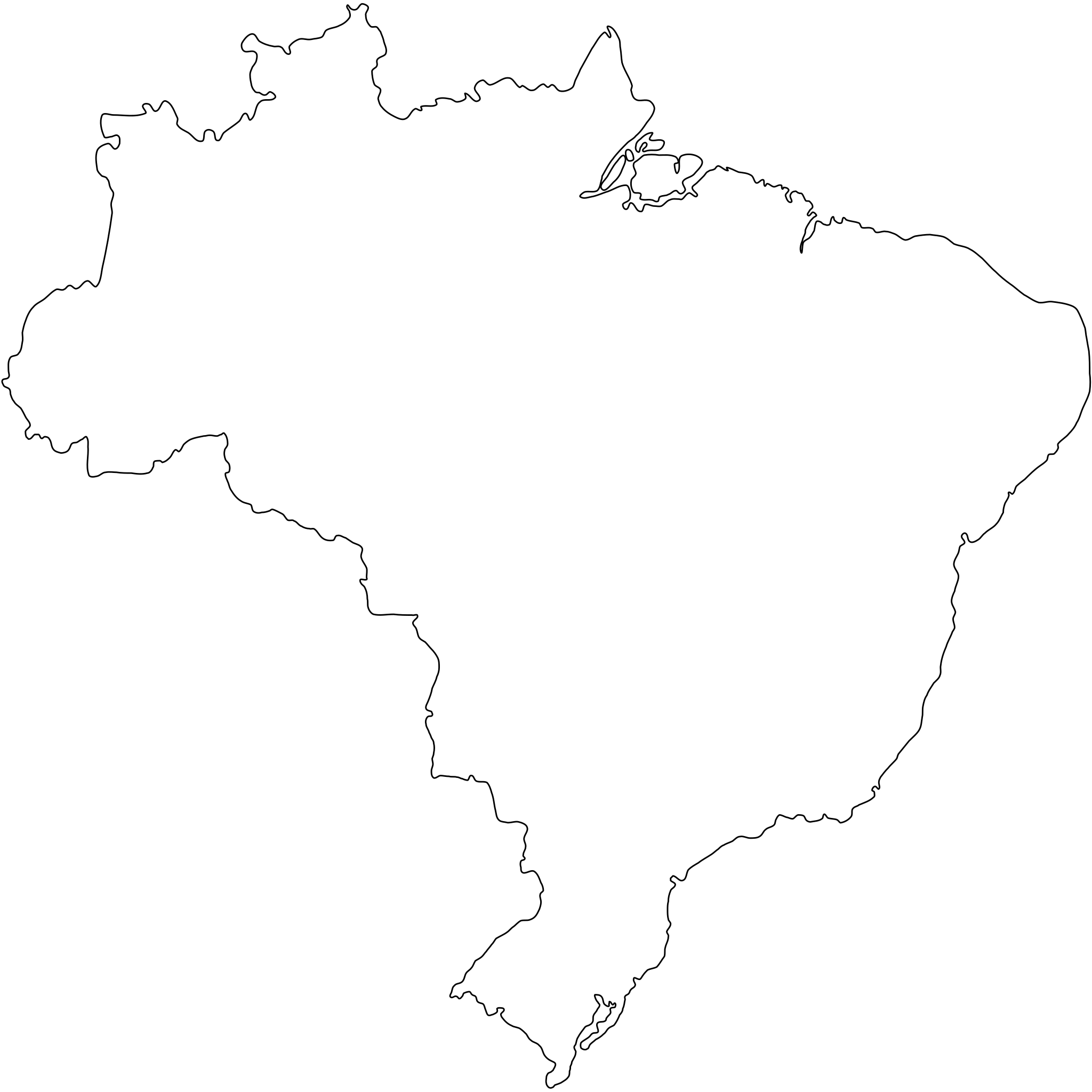
Português: Contorno do mapa do Brasil com detalhamento de nível médio e suavizado, não oficial e não exato porque foi desenhado por mim a olho nu. Inicialmente foi especialmente desenhado para a bandeira do Estado de São Paulo (ver Image:Bandeira do estado de São Paulo.svg).
A map drawn (maybe with CorelDRAW!® or Inkscape) by FML.
|

|
I, the copyright holder of this work, hereby publish it under the following license:
This file is licensed under the Creative Commons Attribution-Share Alike 2.5 Generic license.
- You are free:
- to share – to copy, distribute and transmit the work
- to remix – to adapt the work
- Under the following conditions:
- attribution – You must give appropriate credit, provide a link to the license, and indicate if changes were made. You may do so in any reasonable manner, but not in any way that suggests the licensor endorses you or your use.
- share alike – If you remix, transform, or build upon the material, you must distribute your contributions under the same or compatible license as the original.
File history
Click on a date/time to view the file as it appeared at that time.
| Date/Time | Thumbnail | Dimensions | User | Comment | |
|---|---|---|---|---|---|
| current | 18:30, 18 September 2011 | | 345 × 345 (8 KB) | Giro720 | Map concentric to an (imaginary) circle with r=755 centered at the origin. |
| 07:56, 10 August 2011 |  | 347 × 345 (8 KB) | OAlexander~commonswiki | Better optimisation, eliminated minor error on right edge. (Upped wrong version previously) | |
| 07:52, 10 August 2011 |  | 512 × 510 (20 KB) | OAlexander~commonswiki | Better optimisation, eliminated minor error on right edge. | |
| 07:48, 10 August 2011 |  | 512 × 510 (20 KB) | OAlexander~commonswiki | Repair (did not display in Firefox and Safari) and optimization. | |
| 11:26, 20 February 2006 |  | 526 × 524 (82 KB) | FML | ||
| 01:41, 30 January 2006 |  | 526 × 524 (82 KB) | FML | ||
| 01:33, 30 January 2006 |  | 526 × 524 (143 KB) | FML | {{pt|Contorno do mapa do Brasil com detalhamento de nível médio e suavizado, '''não oficial''' e '''não exato''' porque foi desenhado por mim a olho nu. Inicialmente foi especialmente desenhado para a bandeira do Estado de São Paulo (ver [ |
File usage
There are no pages that use this file.
Global file usage
The following other wikis use this file:
- Usage on pt.wikipedia.org