Nardò
Nardò | |
|---|---|
| Comune di Nardò | |
 18th century column in Piazza Salandra | |
 Nardò within the Province of Lecce | |
| Coordinates: 40°10′47″N 18°02′00″E / 40.17972°N 18.03333°E | |
| Country | Italy |
| Region | |
| Province | Lecce (LE) |
| Frazioni | Boncore, Cenate(li megghiu), Pagani, Palude del Capitano, Portoselvaggio, Roccacannuccia, Santa Caterina, Sant'Isidoro, Santa Maria al Bagno, Torre Inserraglio, Torre Uluzzo, Villaggio Resta |
| Government | |
| • Mayor | Giuseppe Mellone |
| Area | |
| • Total | 190.48 km2 (73.54 sq mi) |
| Elevation | 45 m (148 ft) |
| Population (30 November 2017)[2] | |
| • Total | 31,442 |
| • Density | 170/km2 (430/sq mi) |
| Demonym | Neretini |
| Time zone | UTC+1 (CET) |
| • Summer (DST) | UTC+2 (CEST) |
| Postal code | 73048 |
| Dialing code | 0833 |
| Patron saint | St. Gregory the Illuminator |
| Saint day | February 20 |
| Website | Official website |
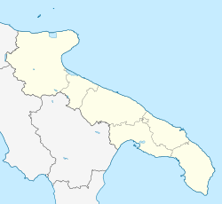
Nardò is a comune in the Province of Lecce in the Apulia region in southeast Italy.
References[change | change source]
- ↑ "Superficie di Comuni Province e Regioni italiane al 9 ottobre 2011". Italian National Institute of Statistics. Retrieved 16 March 2019.
- ↑ (in Italian) Source: Istat 2014


