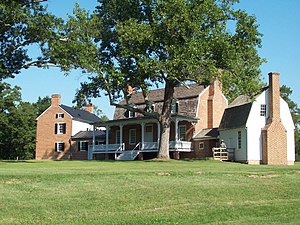
Charles County, Maryland
Charles County | |
|---|---|
 | |
 Location within the U.S. state of Maryland | |
 Maryland's location within the U.S. | |
| Coordinates: 38°29′N 77°01′W / 38.48°N 77.01°W | |
| Country | |
| State | |
| Founded | April 13, 1658 |
| Named for | Charles Calvert, 3rd Baron Baltimore |
| Seat | La Plata |
| Largest community | Waldorf |
| Area | |
| • Total | 643 sq mi (1,670 km2) |
| • Land | 458 sq mi (1,190 km2) |
| • Water | 185 sq mi (480 km2) 29% |
| Population | |
| • Total | 166,617 |
| • Density | 363.8/sq mi (140.5/km2) |
| Time zone | UTC−5 (Eastern) |
| • Summer (DST) | UTC−4 (EDT) |
| Congressional district | 5th |
| Website | www |
Charles County is located in the southern central portion of the U.S. state of Maryland. As of the 2020 census, the population was 166,617.[1] The county seat is La Plata.[2]
References[change | change source]
- ↑ 1.0 1.1 "QuickFacts: Charles County, Maryland". United States Census Bureau. Retrieved January 3, 2024.
- ↑ "Find a County". National Association of Counties. Archived from the original on 2011-05-31. Retrieved June 7, 2011.


