El Rosario, Baja California
El Rosario | |
|---|---|
Town | |
 Highway 1 passes through El Rosario | |
| Coordinates: 30°03′37″N 115°43′37″W / 30.06028°N 115.72694°W | |
| Country | |
| State | Baja California |
| Municipality | San Quintín |
| Elevation | 89 ft (27 m) |
| Population (2010) | |
| • Total | 1,704 |
| Time zone | UTC-8 (Northwest US Pacific) |
| • Summer (DST) | UTC-7 (Northwest) |
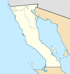
El Rosario is a town in Baja California, Mexico. In 2010, 1,704 people lived there. Highway 1 passes through the town. It is 61 km south of San Quintín and 119 km north of Cataviña.
The economy is based on agriculture. Onions are the major crops here. There are many nearby fishing spots, such as Punta Baja and Isla San Jerónimo.
Other websites[change | change source]
 Media related to El Rosario, Baja California at Wikimedia Commons


