
File:Australia Tasmania location map.svg

Original file (SVG file, nominally 780 × 957 pixels, file size: 244 KB)
| This is a file from the Wikimedia Commons. Information from its description page there is shown below. Commons is a freely licensed media file repository. You can help. |
Summary
| Description |
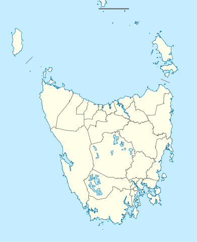
Quadratische Plattkarte, N-S-Streckung 135 %. Geographische Begrenzung der Karte:
Equirectangular projection, N/S stretching 135 %. Geographic limits of the map:
|
||
| Date | |||
| Source |
Own work, using
|
||
| Author | NordNordWest | ||
| Permission (Reusing this file) |
This file is licensed under the Creative Commons Attribution-Share Alike 3.0 Germany license.
 |
||
| SVG development | This map was created with an unknown SVG tool.
|


File history
Click on a date/time to view the file as it appeared at that time.
| Date/Time | Thumbnail | Dimensions | User | Comment | |
|---|---|---|---|---|---|
| current | 22:08, 4 April 2010 | | 780 × 957 (244 KB) | Chumwa | Reverted to version as of 16:36, 29 December 2009 |
| 21:52, 4 April 2010 |  | 780 × 957 (190 KB) | Roke~commonswiki | local government low salience, dont appear on general use maps | |
| 16:36, 29 December 2009 |  | 780 × 957 (244 KB) | NordNordWest | ||
| 16:23, 29 December 2009 |  | 780 × 957 (244 KB) | NordNordWest | =={{int:filedesc}}== {{Information |Description= {{de|Positionskarte von Tasmanien, Australien}} Quadratische Plattkarte, N-S-Streckung 135 %. Geographische Begrenzung der Karte: * N: 39.0° S * S: 44.0° S * W: 143.5� |
File usage
The following 7 pages use this file:
Global file usage
The following other wikis use this file:
- Usage on af.wikipedia.org
- Usage on ar.wikipedia.org
- Usage on ast.wikipedia.org
- Usage on azb.wikipedia.org
- Usage on az.wikipedia.org
- Usage on ba.wikipedia.org
- Usage on be.wikipedia.org
- Usage on bg.wikipedia.org
- Usage on ceb.wikipedia.org
- Usage on ckb.wikipedia.org
- Usage on cs.wikipedia.org
- Usage on de.wikipedia.org
- Hobart
- Launceston (Tasmanien)
- George Town (Tasmanien)
- Port Arthur (Tasmanien)
- Freycinet-Nationalpark
- Mount-Field-Nationalpark
- Cradle-Mountain-Lake-St.-Clair-Nationalpark
- Ben-Lomond-Nationalpark
- Walls-of-Jerusalem-Nationalpark
- Westbury (Tasmanien)
- Devonport (Tasmanien)
- Strahan (Tasmanien)
- Latrobe (Tasmanien)
- Mount-William-Nationalpark
- Kent-Group-Nationalpark
- Vorlage:Positionskarte Australien Tasmanien
- Douglas-Apsley-Nationalpark
- Hartz-Mountains-Nationalpark
- Mole-Creek-Karst-Nationalpark
- Narawntapu-Nationalpark
- Rocky-Cape-Nationalpark
View more global usage of this file.