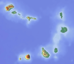
Maio, Cape Verde
Appearance
Native name: Djarmai | |
|---|---|
 | |
 | |
| Geography | |
| Location | Atlantic Ocean |
| Coordinates | 15°13′N 23°10′W / 15.217°N 23.167°W |
| Area | 274.5 km2 (106.0 sq mi) |
| Length | 24.1 km (14.98 mi) |
| Width | 16.3 km (10.13 mi) |
| Highest elevation | 436 m (1430 ft) |
| Highest point | Monte Penoso |
| Administration | |
| Municipality | Maio |
| Largest settlement | Porto Inglês |
| Demographics | |
| Demonym | Maiense |
| Population | 6980 (2015) |
| Pop. density | 25.4/km2 (65.8/sq mi) |
| Additional information | |
| Official website | www |
Maio is an island of Cape Verde. It is the easternmost of the Sotavento group. The island forms one municipality. The island’s main town is Porto Inglês.
The island was discovered in 1460. The tallest mountain on the island (436 m) is near the east coast.[1] It is in a mountain range named Monte Penoso.

