Outeniqua Mountains
| Outeniqua Mountains | |
|---|---|
 Outeniqua Pass | |
| Highest point | |
| Peak | Cradock Peak |
| Elevation | 1,578 m (5,177 ft) |
| Coordinates | 33°45′0″S 23°0′00″E / 33.75000°S 23.00000°E |
| Geography | |
| Country | South Africa |
| Province | Western Cape |
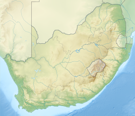
The Outeniqua Mountains, named after the Outeniqua Khoikhoi who lived there, is a mountain range that runs on the southern coast of South Africa.
It forms a continuous range with the Langeberg to the west and the Tsitsikamma Mountains to the east. It was known as "Serra de Estrella" ("Mountain of the Star") to the Portuguese.[1] The mountains are part of the Garden Route of South Africa.
References[change | change source]
- ↑ RE Raper - HSRC. Dictionary of Southern African Place Names.

