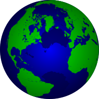
Vector Map

The Vector Map (VMAP) is a map collection made by The NGA. It is based on the geographic information system, and uses the form of Vector for graphics. It has 2 levels of graphics as of current, Level 0, which uses low-quality images, and is in the public domain. Level 1 which uses medium-quality images, and is partly in public domain.
