Batesville, Arkansas
Batesville, Arkansas | |
|---|---|
 Josephine Street in the fall | |
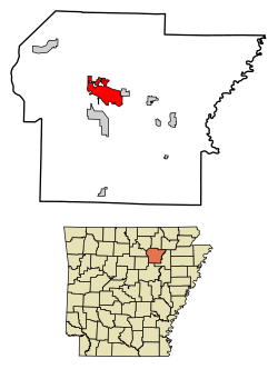
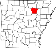
 Location of Batesville in Independence County, Arkansas. | |
| Coordinates: 35°46′25″N 91°38′29″W / 35.77361°N 91.64139°W | |
| Country | United States |
| State | Arkansas |
| County | Independence |
| Founded | 1821 |
| Incorporated | 1822 |
| Area | |
| • Total | 11.71 sq mi (30.33 km2) |
| • Land | 11.60 sq mi (30.03 km2) |
| • Water | 0.11 sq mi (0.30 km2) |
| Elevation | 377 ft (115 m) |
| Population | |
| • Total | 11,191 |
| • Density | 965.16/sq mi (372.64/km2) |
| Time zone | UTC-6 (CST) |
| • Summer (DST) | UTC-5 (CDT) |
| ZIP codes | 72501, 72503 |
| Area code | 870 |
| FIPS code | 05-04030 |
| GNIS feature ID | 2403819[2] |
| Website | Official Website for the City of Batesville, Arkansas |
Batesville is a city in the US state of Arkansas. It is the largest city of Independence County.
References[change | change source]
- ↑ "2020 U.S. Gazetteer Files". United States Census Bureau. Retrieved October 29, 2021.
- ↑ 2.0 2.1 U.S. Geological Survey Geographic Names Information System: Batesville, Arkansas
- ↑ "QuickFacts: Batesville city, Arkansas". United States Census Bureau. Retrieved September 8, 2023.


