Mexico City Santa Lucía Airport
Santa Lucía Air Force Base Base Aérea No. 1 Santa Lucía | |||||||||||
|---|---|---|---|---|---|---|---|---|---|---|---|
 | |||||||||||
| Summary | |||||||||||
| Airport type | Public / Military | ||||||||||
| Serves | Mexico City | ||||||||||
| Location | Santa Lucía, Zumpango, State of Mexico, Mexico | ||||||||||
| Coordinates | 19°45′24″N 099°00′55″W / 19.75667°N 99.01528°W | ||||||||||
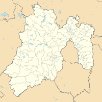
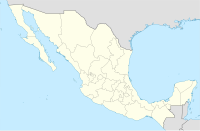
| Map | |||||||||||
| Runways | |||||||||||
| |||||||||||
Santa Lucía Air Force Base (IATA: NLU, ICAO: MMSM) is a military airport in Santa Lucía, Zumpango, in the State of Mexico, Mexico.
In October 2019, it was proposed for the military airport to become a civilian airport.
Two runways and a new terminal are planned during the first phase, due to open by March 21, 2022 as ordered by president Andrés Manuel López Obrador. The airport will be operated by the Secretariat of National Defense (SEDENA) which will also receive all of the airport's earnings.[3][4][5]
The new airport will be renamed General Felipe Ángeles International Airport.
References[change | change source]
- ↑
 Mexico
- ↑ Airport information for Santa Lucía Air Force Base Num 1 at Transport Search website.
- ↑ "What Is Next for Mexico City Airport After Mega Project Axed?". Archived from the original on 2018-11-09. Retrieved 2018-11-09.
- ↑ "Entre banderas y militares, inician obras en aeropuerto de Santa Lucía". www.milenio.com. Retrieved 2019-10-17.
- ↑ "Va aeropuerto, revocan última suspensión contra Santa Lucía". Excélsior (in Spanish). 2019-10-16. Retrieved 2019-10-17.


