
Roxas Boulevard
_sign.svg) .svg)
| |
|---|---|
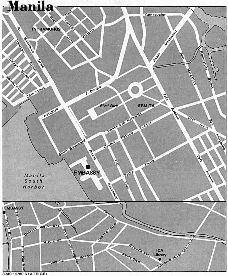
 Map of Roxas Boulevard in Metro Manila | |
 Roxas Boulevard along the Manila Bay | |
| Route information | |
| Maintained by Department of Public Works and Highways[1][2] | |
| Length | 7.6 km (4.7 mi) from Google Earth |
| Existed | 1910s–present |
| Component highways | |
| Restrictions | No trucks, trailers, and buses from Padre Burgos Avenue/Katigbak Parkway to Gil Puyat Avenue. |
| Major junctions | |
| North end | Padre Burgos Avenue in Ermita[3][4] |
| South end | |
| Location | |
| Country | Philippines |
| Major cities | Manila, Pasay, Parañaque |
| Highway system | |
| |
Roxas Boulevard is one of the distinguished roads in Manila, the capital of the Philippines. It is a boulevard, or a wide road, that runs along the shores of Manila Bay. It is famous for its sunsets and stretch (or line) of coconut trees. It is now a trademark of tourism. It is also famous for its yacht club, hotels, restaurants, commercial buildings, and parks.
History of the name[change | change source]
.jpg)
The old name of the road is Cavite Boulevard.[5] It was then changed to Dewey Boulevard after the American Admiral George Dewey. Dewey's men defeated the Spanish navy in the Battle of Manila Bay in 1898.
The name was changed to "Heiwa Boulevard" in 1941 during the Japanese occupation of the Philippines. It was changed again to Roxas Boulevard in the 1960s after Manuel Roxas, the former president of the Philippines.
Related pages[change | change source]
References[change | change source]
- ↑ "South Manila". DPWH Road Atlas. Department of Public Works and Highways. Archived from the original on 2015-12-22. Retrieved 2015-12-12.
- ↑ "Metro Manila 2nd". DPWH Road Atlas. Department of Public Works and Highways. Archived from the original on 2016-03-06. Retrieved 2017-09-06.
- ↑ "Manila map". University of Texas at Austin Library. Retrieved on 2011-06-05.
- ↑ "Rizal Park-Manila Map". Google Maps. Retrieved on 2011-06-05.
- ↑ "United States Congressional serial set, Issue 5280 - Act no. 1745, Section 2a", pg. 417. Government Printing Office, Washington.