Madhubani, India
Madhubani | |
|---|---|
City | |
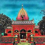
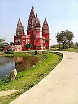
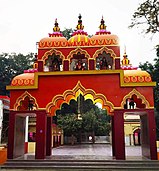
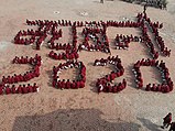
Clockwise from top: Madhubani City skyline, Madhubani railway station ,Kali Mandir, Police Line mandir, Hanuman Mandir, School Student. | |
| Coordinates: 26°22′N 86°05′E / 26.37°N 86.08°E | |
| Country | |
| State | Bihar |
| Region | Mithila |
| District | Madhubani |
| Government | |
| • Type | Madhubani Municipal Corporation |
| Elevation | 56 m (184 ft) |
| Population (2011) | |
| • Total | 75,736 |
| Languages | |
| • Official | Maithili |
| • Additional official | English[source?] |
| • Regional Language | Maithili |
| Time zone | UTC+5:30 (IST) |
| PIN | |
| Telephone code | 06276 |
| ISO 3166 code | IN-BR |
| Vehicle registration | BR-32 |
| Sex ratio | 1000/926 ♂/♀ |
| Lok Sabha constituency | Madhubani |
| Vidhan Sabha constituency | Madhubani, Bisfi |
| Website | madhubani |
Madhubani is a city in the Indian state of Bihar.[1] The word "Madhuban" means "forest of honey".[2]
References[change | change source]
- ↑ Ram, Bindeshwar (1998). Land and society in India: agrarian relations in colonial North Bihar. Orient Blackswan. ISBN 978-81-250-0643-5.
- ↑ "Madhubani | India | Britannica.com". britannica.com. Retrieved 12 November 2016.


