Clark's Harbour
Appearance
Clark's Harbour | |
|---|---|
Town | |
 | |
| Motto: Unity with Independence | |
| Coordinates: 43°26′33″N 65°37′44″W / 43.4425°N 65.628889°W[1] | |
| Country | |
| Province | |
| County | Shelburne |
| Municipal district | Barrington |
| Founded | 1773 |
| Incorporated | March 4, 1919 |
| Government | |
| • Type | Town Council |
| • Mayor | Leigh Stoddart |
| Area (2016) | |
| • Land | 2.81 km2 (1.08 sq mi) |
| Elevation | 2 m (7 ft) |
| Population (2016) | |
| • Total | 758 |
| • Density | 269.6/km2 (698/sq mi) |
| • Change (2011-16) | |
| • Dwellings | 407 |
| Time zone | UTC-4 (AST) |
| • Summer (DST) | UTC-3 (ADT) |
| Postal code(s) | |
| Area code | 902 (745) |
| Access Routes | |
| Website | clarksharbour.com |
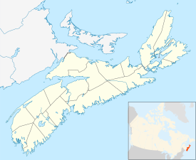
Clark's Harbour is a town on Cape Sable Island in southwestern Nova Scotia, Canada, located in Shelburne County.
References
[change | change source]Other websites
[change | change source]43°26′33″N 65°37′44″W / 43.44250°N 65.62889°W

