Tolland, Connecticut
Tolland, Connecticut | |
|---|---|
 Hicks Memorial Municipal Center and Library | |
| Coordinates: 41°52′19.85″N 72°22′10.06″W / 41.8721806°N 72.3694611°W | |
| Country | |
| U.S. state | |
| County | Tolland |
| Region | Capitol Region |
| Incorporated | 1715 |
| Area | |
| • Total | 40.3 sq mi (104.4 km2) |
| • Land | 39.7 sq mi (102.9 km2) |
| • Water | 0.6 sq mi (1.5 km2) |
| Elevation | 656 ft (200 m) |
| Population | |
| • Total | 14,563 |
| • Density | 366/sq mi (141.5/km2) |
| Time zone | UTC-5 (Eastern) |
| • Summer (DST) | UTC-4 (Eastern) |
| ZIP Code | 06084 |
| Area code(s) | 860/959 |
| FIPS code | 09-76290 |
| GNIS feature ID | 0212667 |
| Website | www |
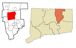
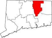
Tolland is a town in Tolland County, Connecticut, United States. The population was 14,563 at the 2020 census.[1]
References[change | change source]
- ↑ 1.0 1.1 "Census - Geography Profile: Tolland town, Tolland County, Connecticut". Retrieved December 22, 2021.


