
Mobile County, Alabama
Mobile County | |
|---|---|
 Location within the U.S. state of Alabama | |
 Alabama's location within the U.S. | |
| Coordinates: 30°47′11″N 88°12′50″W / 30.7864°N 88.2139°W | |
| Country | |
| State | |
| Founded | December 18, 1812[1] |
| Named for | Mobile Bay |
| Seat | Mobile |
| Largest city | Mobile |
| Area | |
| • Total | 1,644 sq mi (4,260 km2) |
| • Land | 1,229 sq mi (3,180 km2) |
| • Water | 415 sq mi (1,070 km2) 25.2% |
| Population | |
| • Total | 414,809 |
| • Density | 250/sq mi (97/km2) |
| Time zone | UTC−6 (Central) |
| • Summer (DST) | UTC−5 (CDT) |
| Website | mobilecountyal |
Mobile County is a county of the U.S. state of Alabama. It is named after a tribe of Native Americans, the Maubila tribe. As of 2020, 414,809 people lived there.[2] Its county seat is Mobile. The entire county is included in the Mobile metropolitan statistical area.
History[change | change source]
- Mobile County was first settled in 1702.
- The county was declared a disaster area in September 1979 due to damage from Hurricane Frederic.
- The county was declared a disaster area in September 2005 due to damage from Hurricane Katrina.
Government[change | change source]
The county-wide government is a 3 member district county commission which represents both the unincorporated residents and the residents of other municipalities.
Geography[change | change source]
According to the U.S. Census Bureau, the county has a total area of 1,644 square miles (4,260 km2), of which 1,229 square miles (3,180 km2) is land and 415 square miles (1,070 km2) (25.2%) is water.[3]
Neighbouring Counties[change | change source]
- Washington County (north)
- Baldwin County (east)
- Jackson County, Mississippi (southwest)
- George County, Mississippi (west)
- Greene County, Mississippi (northwest)
Demographics[change | change source]
The census of 2020 said that there were 414,809 people, 155,946 households, and 97,398 families families living in the county. The population density was 250 people per square mile (97/km²).
The racial makeup of the county was 55.3% White and 35.3% Black or African American.[2]
Communities[change | change source]
Municipalities[change | change source]
Cities (2020 population)[4]
- Mobile (187,041), the county seat
- Prichard (19,322)
- Saraland (16,171)
- Satsuma (6,749)
- Chickasaw (6,457)
- Semmes (4,941)
- Citronelle (3,946)
- Bayou La Batre (2,204)
- Creola (1,936)
Towns (2020 population)
- Dauphin Island (1,778)
- Mount Vernon (1,354)
Unincorporated communities[change | change source]
Census-designated places (2020 population)
- Tillmans Corner (17,731)
- Theodore (6,270)
- Grand Bay (3,460)
Other communities
- Eight Mile (partially in the city of Prichard, partially unincorporated)
Education[change | change source]
Most of the public schools in Mobile County are operated by the Mobile County Public School System.
References[change | change source]
- ↑ "Mobile County, Alabama history". Alabama Department of Archives and History (ADAH). June 5, 2009. Archived from the original on February 3, 2013. Retrieved June 14, 2009.
- ↑ 2.0 2.1 2.2 "Mobile County, Alabama". United States Census Bureau. Retrieved August 8, 2023.
- ↑ "U.S. Census Gazetteer Files". United States Census Bureau. Retrieved August 8, 2023.
- ↑ "U.S. Census Quickfacts". United States Census Bureau. Retrieved August 8, 2023.
Other websites[change | change source]
- Information on Mobile metropolitan area
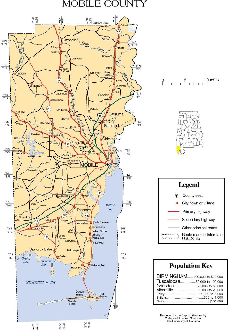
- Mobile County map of roads/towns (map © 2007 Univ. of Alabama).
Municipalities and communities of Mobile County, Alabama, United States | ||
|---|---|---|
| Cities |  | |
| Towns | ||
| CDPs | ||
| Unincorporated communities | ||
| Ghost town | ||
| Indian reservation | ||
| Footnotes | ‡This populated place also has portions in an adjacent county or counties | |
30°47′11″N 88°12′50″W / 30.78639°N 88.21389°W
| International | |
|---|---|
| National | |
| Geographic | |
| Other | |